Flora & Fauna Surveys
Knowing what inhabits an area is key to informing how that land should be managed or developed.
By identifying the species and habitats present within the associated land we can provide information regarding ecological processes, values, constraints and risk and opportunities to consider when planning for future management or development.


Capabilities
- Desktop assessments of relevant state and federal databases to identify records or likely occurrence of threatened plants, animals, and communities including matters of national environmental significance (MNES).
- Review of projects against state and federal legislative requirements and local planning schemes to identify required approval pathways.
- Detailed environmental site assessments to identify values, risks, and opportunities for project environmental management.
- Quantification of impacts to native vegetation and significant impact assessments for MNES.
- Produce reports including recommendations for mitigating actions, further studies and project delivery that will ensure timely approval of projects resulting in minimal environmental harm.
- Coordinate other specialist consultants (cultural heritage advisors, arborists etc) input where required.

Related Projects
Threatened Species Monitoring Program
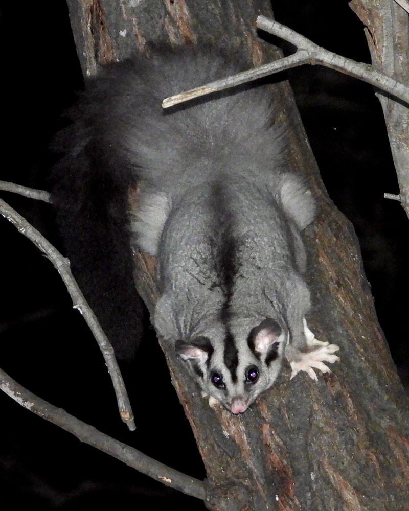
Biannual (autumn and spring) monitoring of ~130 sites across Albury-Wodonga to monitor for presence/ absence of Squirrel Gliders using motion sensing cameras.
Kynmer Creek Regulator
Desktop and site-based flora and fauna assessments within a significant area (National Park) associated with an infrastructure project design to deliver ecological benefits within the park.
Benalla Urban Growth Strategy
Desktop and site-based flora and fauna assessments across the proposed urban growth corridor within the local government area.


